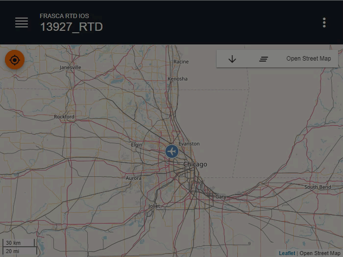
Using the Map
The Map page is a graphical display intended to depict the aircraft’s enroute flight path. All runways are displayed on the Map Page as long as the trainer is connected to the internet.
- The Scale of the current map is displayed at the bottom left side of the Map page. Place two fingers on the screen and then spread them apart to zoom in, or bring them together to zoom out.
- Tap and hold, or right-click on a location on the Map until the Reposition Here option pops-up to Reposition the Aircraft.
- Tap the Tracking Aircraft button to toggle between tracking and not tracking the aircraft. When tracking (highlighted), this centers the map on the aircraft.
- Tap the Clear Trail button to clear the aircraft’s trail from the map.
- Tap the Download button to download the recorded flight in a KML file that is viewable using Google Earth.
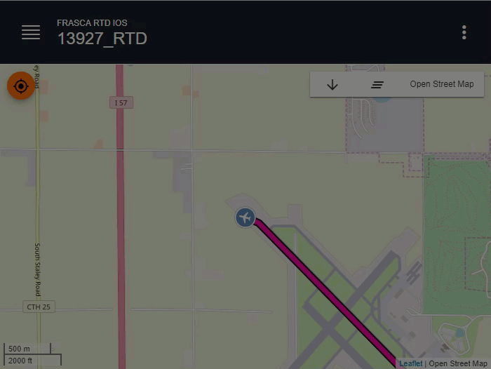
- Tap the Map Layer button to change layer options.